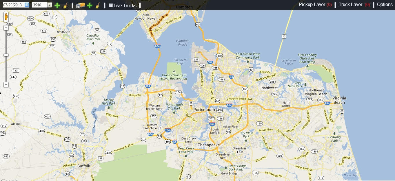
Sonrai Systems Visual Intelligence is a fully functioning tool for users to interact with for spot-on analysis. We're certain you'll be impressed with it's simple design and ease-of-use. Users need not be computer experts in database queries. They simply "sweep and select" from a list of data fields and the information is displayed on the satellite map interface. With the click of a mouse, your users will find it's faster, easier and simpler than they ever imagined!
Additionally, our Visual Intelligence Layer allows users to see more information associated with any asset on the map. Once a manager has determined which routes need attention, it isn't necessary to transfer to another system to get more information. The whole picture appears on a large electronic map and with the wave of a mouse over the area of interest, a "tool tip" window appears, from which the user chooses and the pertinent data appears.
With the Sonrai Systems Visual Intelligence Layer, it's easy! Similar to using any consumer mapping tool, such as Google, Yahoo or Virtual Earth. Now everyone can exhale, because no one needs to be a computer expert!
In addition to pulling numbers and words from a database, Sonrai System's Visual Intelligence Layer can display unstructured data such as photos from a site (e.g. "The customer's car is blocking access to the bin."), or sign-off sheets ("The customer said he didn't get a pickup today but I have his sign-off sheet indicating he did."),or any other information relevant to your routes, drivers, trucks or other aspects of your business.
Sonrai Systems makes managing a fleet of trucks and drivers a much simpler task. We can handle your multiple layers of information, while you manage the little issues that are bound to come up during any work day.